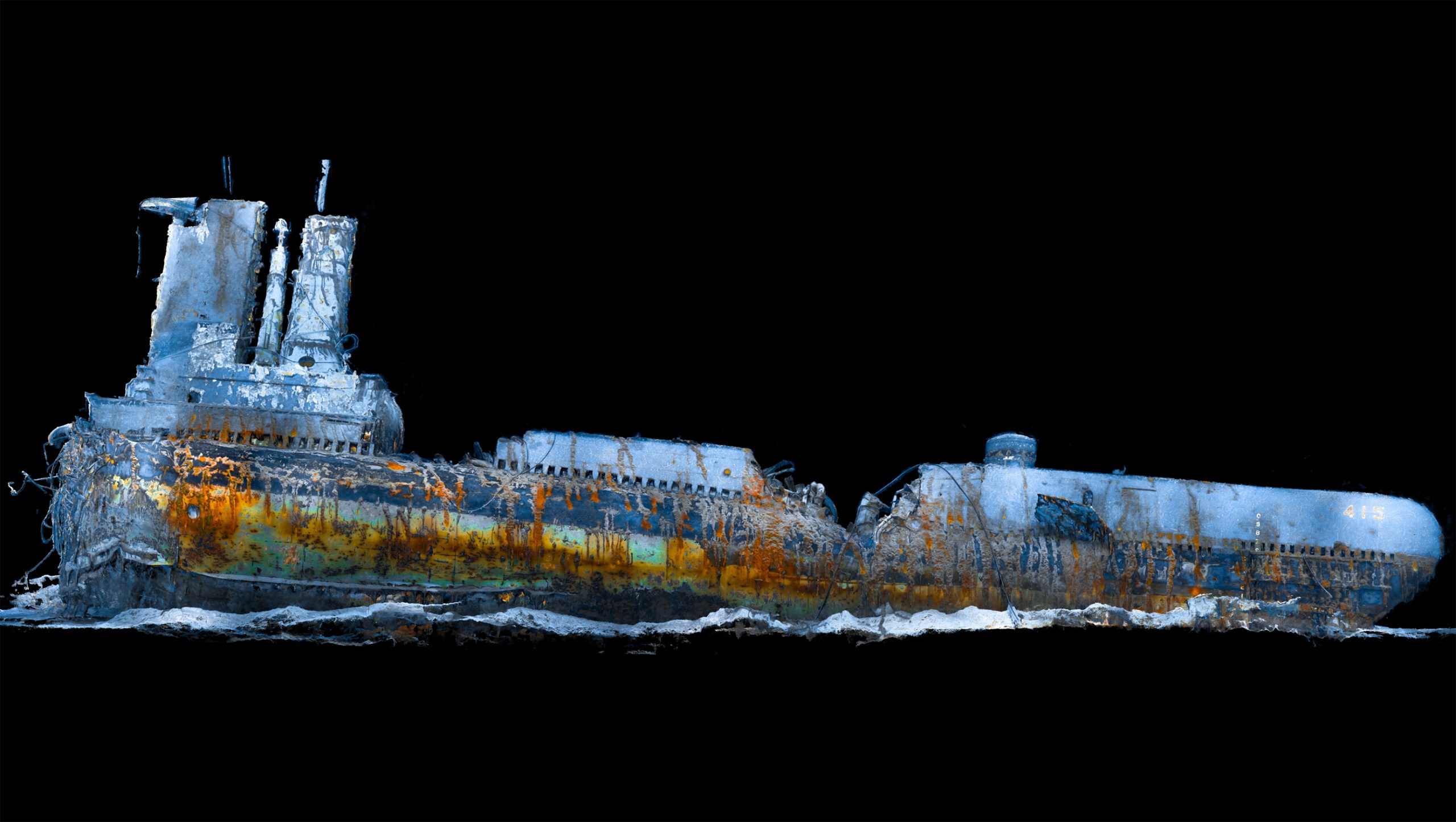
Legacy 3D reconstruction extracts measurable point-cloud data from existing footage and imagery — including archived VHS inspection video, CVI records and old ROV camera files — producing 3D data that represents the asset as it was at the time of capture. If the original footage shows the shape from multiple angles, it can usually be reconstructed in 3D.
Where the 3D reconstruction process can recognise features that are repeated in several images, or indeed video footage that details multiple angles, options to prepare the subject matter as a 3D point cloud dataset exist, and of course to analyse the resulting information for technical, investigatory or archaeological benefit.
To assess the suitability of legacy information in a basic manner, we can ask ourselves a simple question – does the footage or data help you understand the shape in 3D? If the answer is yes, then legacy 3D data processing may be able to help your project by extracting new measurable 3D shapes from old 2D information. These reconstructed datasets can also serve as the foundation for a reliable digital twin, whether modern data is unavailable or not.
Some parts of the world have been photographed on millions of occasions.
As an example of the flexibility offered by the process of 3D photogrammetry, it is of course, possible to reconstruct an elementary level of 3D data of the Pyramids of Giza, the Eiffel Tower or Mount Rushmore, simply by collecting the best available existing information and preparing/improving it to aid the value of the 3D reconstruction process.
The versatility of 3D photogrammetry is best demonstrated through its ability to utilise existing data. Whether it’s reconstructing a crime scene using old photographs, repurposing aerial drone inspection videos or supporting offshore survey archives, the process delivers measurable value. When treated scientifically, photogrammetry offers unique opportunities to reconstruct and extract additional value from the image data, aiding your technical efforts and project schedule compliance.
